CLICK FOR NORTH SOMERSET CURRENT WEATHER, FORECAST AND HISTORICAL DATA
SEEN ANYTHING OF INTEREST IN THE NORTH SOMERSET AREA? PLEASE CONTACT ME
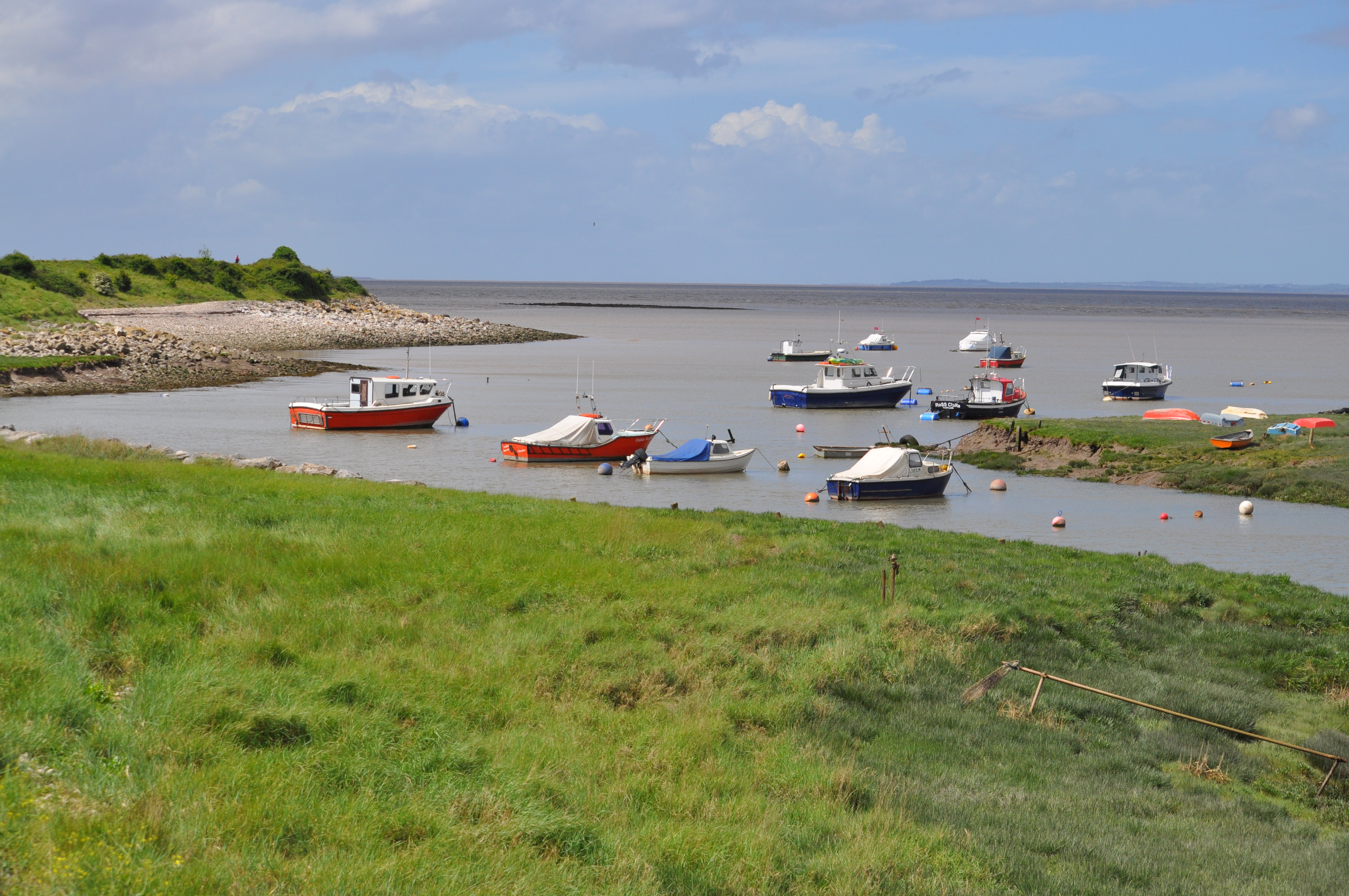
THE LAND YEO OUTFALL, CLEVEDON, NORTH SOMERSET
The Land Yeo River starts
life as the Elwell Spring close to Elwell Lane on Dundry Hill near Dundry, OS
Map Explorer 154 Bristol West and Portished, Congresbury and Chew Magna
(Location ST 546 663). The spring flows as the Elwell Brook into the No1
Barrow Gurney Reservoir operated by Bristol Water.
The reservoir first opened in 1852 and is one of three artificial reservoirs
near the village of
Barrow Gurney used for the provision of drinking water
to Bristol. The reservoirs are stocked with Rainbow and Brown Trout and
fishing under permit is allowed by the water company.
The brook continues and flows under the A38 (Bridgwater Road) following a
course which runs parallel to the B3130 road (Barrow Street). It eventually
flows under the road in the village of Barrow Gurney and continues to follow
a course parallel to and east of the B3130. In Barrow Gurney 3 mills were
known to of been sited namely the Upper Barrow Corn Mill (Location ST 529
681), Middle Barrow Snuff Mill and Lower Barrow Corn Mill (Location ST 523
686).
At the site of the Lower Barrow Corn Mill the brook then heads slightly
north away from the B3130 flowing under Redwood Lane and towards the cutting
carrying the the main Bristol to Exeter rail track which it crosses via an
aqueduct before flowing under Weston Road (the old A370 Bristol to Weston-Super-Mare road) east of Cambridge Batch.
It then heads towards Gatcombe Court and meanders around the old roman
settlement at Gatcombe before heading north west to the site of another
mill, Gatcombe Snuff Mill - Long Ashton (Location ST 522 700). Here it turns
in a westerly direction to the site of Kingcot Snuff Mill - Long Ashton
(Location ST 516 698) before flowing under the B3130 once again.
Still heading west it reaches the site of Bourton Corn Mill - Flax Bourton
(Location ST 511 698) before turning north west between
Nailsea
and
Tyntesfield
to Watercress Farm - Wraxall (Location ST 500 706) the site of
another mill. Continuing west the brook reaches Brook Farm and Backwell Bow
where there is evidence of the existence of yet another mill at location ST
493 706. Now heading north the brook becomes the Land Yeo and reaches the
site of Wraxall Mill - Wraxall ST 484 716. From here the Land Yeo passes
under the B3130 north east of Nailsea near Wraxall House and flows in an
embanked man-made channel on the south side of its valley for most of its
way to Jacklands Bridge, Tickenham.
Jacklands Fishing Lakes lies to the east of the Land Yeo at Jacklands Bridge
and provides an ideal coarse or fly fishing experience for beginners and
local enthusiasts alike. The trout lake is well stocked and the coarse lake
contains roach, perch, rudd, bream and carp. Here north of Nailsea the Land
Yeo passes again under the B3130 into another man-made course and on its way
to Tickenham Moor.
After passing under Washing Pound Lane north of
Tickenham
Court here at
Tickenham it powered Tickenham Mill (Location ST 455 717) which was probably
of medieval origin, the watercourse may therefore be medieval too.
From here the Land Yeo continues west passing under Moor Lane, Tickenham and
onto Clevedon Moor eventually passing under the M5 motorway and Court Lane,
Clevedon at East Clevedon south of
Clevedon Court.
In the fields south of Clevedon was the site of Tuck Mills (Location ST 442
712) where water powered hammers were used for fulling cloth, the cloth
being fulled or felted by being hammered when damp.
The river passes under Northern Way, Clevedon with the North Somerset Council
offices on the north bank as it continues west into and through the town of
Clevedon. It flows to the Triangle where it is culverted under Queen Square
shopping precinct which was once the site of Clevedon Railway Station, the
terminus of the GWR branch line from
Yatton. This site was also used by the
Weston-Super-Mare, Clevedon and Portishead Light Railway which used to operate from
Weston-Super Mare directly along the coast to Clevedon and Portishead.